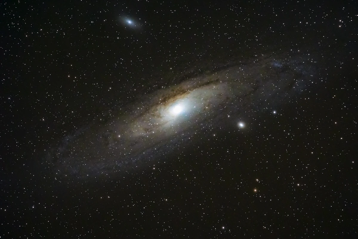
How Scientists Created a 5 Trillion Pixel Cosmic Map
Whenever my video editing timeline gets bogged down with heavy 4K footage and dynamic graphics layers, my computer fans sound like a jet engine preparing for takeoff. We have all been there. You hit the export button on a massive file, cross your fingers, and hope the render does not crash halfway through. Now, imagine trying to stitch together a single image file that is so immense, so ridiculously detailed, that it packs over 5.6 trillion pixels.
That is exactly what a global team of astronomers and researchers just pulled off. After 13 long years of observations, capturing data across thousands of nights, scientists working with the Dark Energy Spectroscopic Instrument (DESI) project released the biggest two-dimensional map of our universe ever constructed. They gathered 263,407 separate photographs, combined data from massive observatories across two hemispheres, and built a cosmic atlas that covers almost half of the entire night sky.
When you sit down and digest what went into this milestone, the sheer scale of the project is hard to comprehend. Whether you are a space nerd, a photography buff, or a content creator obsessed with camera sensors and storage setups, this high-resolution map is a mind-blowing achievement.
Breaking Down the Mind-Boggling Numbers
To truly appreciate what these researchers built, we have to look closely at the numbers behind the dataset. In the media production world, we get excited when a new camera drops with a 45-megapixel or 60-megapixel sensor. We talk about dynamic range, file sizes, and buying faster memory cards. But astronomical imaging operates on a completely different level.
The new 2D cosmic map clocks in at roughly 5.6 trillion pixels. That is 5,600 gigapixels. If you tried to open an image that big on a high-end desktop workstation, your computer would throw a fit and shut down. To put that in perspective, a standard 4K monitor displays roughly 8.3 million pixels. This cosmic map holds enough pixel detail to fill over 670,000 4K displays placed side-by-side in a giant grid.
The team did not just point a single camera at the sky and call it a day. Over the course of 13 years, thery captured 263,407 individual high-exposure shots of deep space. These images cover more than 20,000 square degrees of the night sky. Since the full sky encompasses about 41,253 square degrees, this map captures roughly half of our view of the cosmos, focusing primarily on the clear regions sitting outside the dusty plane of our own Milky Way galaxy.
Thinking back to when this project started 13 years ago brings up some funny memories. Back then on YouTube, creators were still uploading 480p or 720p videos, rendered on slow dual-core laptops. While we were spending the last decade upgrading our camera rigs from 1080p up to 4K and 8K, these astronomers were quietly grinding away, night after night, collecting petabytes of raw photon data to assemble the ultimate universe panorama.
How to Stitch Quarter of a Million Space Photos
If you have ever tried stitching a basic 10-photo panoramic shot on your phone or in Photoshop, you know how easy it is for things to go wrong. You end up with weird seams, mismatched lighting, curved horizons, or ghosting artifacts. Now imagine trying to stitch 263,407 photographs together when those photos were taken over more than a decade, using three different giant telescopes located in two different continents.
The data came from three distinct observational sky surveys that joined forces under the DESI Legacy Imaging Surveys umbrella:
The Dark Energy Camera (DECam)
Mounted on the Victor M. Blanco 4-meter Telescope at the Cerro Tololo Inter-American Observatory in Chile, DECam handled the southern night sky. This massive 570-megapixel camera is a marvel of optical engineering, built specifically to capture faint light from galaxies billions of light-years away.
The Mayall Z-band Legacy Survey
Located at the Kitt Peak National Observatory in Arizona, the Nicholas U. Mayall 4-meter Telescope captured complementary infrared and optical wavelengths across the northern sky, helping researchers peer through interstellar cosmic dust.
The Beijing-Arizona Sky Survey (BASS)
Also hosted at Kitt Peak using the 2.3-meter Bok Telescope, BASS gathered crucial optical data in specific light bands to complete the northern sky coverage.
Combining images from three entirely different optical systems requires staggering computational work. Earth's atmosphere bends light unpredictably every single night. The brightness of the sky changes depending on the moon phase, moisture, and temperature. On top of that, hardware sensors produce subtle noise patterns that shift over time.
Astronomers had to design custom software algorithms to clean up each exposure, strip out atmospheric interference, calibrate color balance, and match up the edges of a quarter-million frames with pinpoint precision. It is the ultimate photo editing job, carried out by supercomputers working through mountains of astronomical data.
Why Scientists Needed a 5.6-Trillion-Pixel Map
Why go through all this trouble? Is this map just a cool screen saver for astrophysicists, or does it serve a deeper scientific purpose? As it turns out, this 2D map is the foundational blueprint for understanding how our universe expands.
The main driving force behind this colossal effort is dark energy. Back in the late 1990s, astrophysicists discovered that the universe is not just expanding—it is accelerating outward at an ever-increasing speed. Something invisible is pushing everything apart, defying gravity. Scientists call this mystery force dark energy, and it makes up roughly 68 percent of everything in the universe, yet we still do not fully understand what it actually is.
To study dark energy, scientists need to measure the positions and distances of tens of millions of distant galaxies. But before you can measure how far away a galaxy is in 3D space using spectrographs, you need an ultra-precise 2D target map so you know exactly where to point your instrument fibers.
This 5.6-trillion-pixel canvas acts as that ultimate roadmap. By carefully scanning this map, the DESI team selected over 40 million candidate galaxies and quasars. They are now using the DESI instrument itself—which uses 5,000 tiny robotic fiber-optic positioners installed on the Mayall telescope—to measure light spectrums from thousands of targets simultaneously.
Think of this 2D map as the location scouting phase of a massive documentary project. Before you pack up gear and head into the field to shoot, you research the terrain, drop pins on GPS maps, and plan every setup. This map tells astronomers precisely where to look across billions of light-years of space.
What Digital Storytellers and Creators Can Learn from This
Looking at a project of this magnitude gives you a fresh perspective on digital workflow, technical patience, and storytelling. As someone who manages video libraries, archives old hard drives, and spends hours managing media files, there are a few practical lessons we can pull from what these astronomers accomplished.
1. Data Management Is Everything
When you are managing hundreds of thousands of high-resolution files over 13 years, your file structure and backup protocols have to be rock solid. A single corrupted archive or lost metadata tag can ruin years of effort. For creators, building a clean, standardized catalog system for raw media assets is not optional—it is what keeps big long-term projects alive.
2. The Long Game Wins
In a world where we chase fast trends and quick algorithm spikes, it is inspiring to see a team stick to a single, hyper-focused technical goal for over a decade. Building a YouTube channel, producing a feature documentary, or creating a landmark digital tool takes sustained, steady effort over years, long after the initial excitement wears off.
3. Collaboration Scales Quality
No single observatory or single team of scientists could have built this map alone. It required cross-continental collaboration, shared open-source datasets, and combining specialized camera gear from different research institutions. When creative freinds and tech enthusiasts combine their skills and resources, the end result is almost always bigger than what anyone could build solo.
Exploring the Cosmic Atlas
The best part about this massive scientific milestone is that the entire map has been made available to the public. You do not need a degree in astrophysics or a secret security clearance to explore it. Through interactive sky-viewer platforms hosted by NOIRLab and the DESI team, anyone with a web browser can zoom in and out across billions of light-years.
When you open the viewer and pick a random spot in the deep black void between familiar constellations, you quickly realize that those tiny bright specks are not individual stars. Almost every dot you see is an entire galaxy containing tens or hundreds of billions of stars of its own. You can zoom in on spiral galaxies spinning in deep space, cluster structures bound together by gravity, and faint ancient light that left its source long before Earth even formed.
It puts our everyday technical headaches into perspective. The next time a render crashes on my editing computer or a upload takes longer than expected, I am going to remind myself of the 263,407 photo exposures that had to be captured, processed, aligned, and stitched over 13 years just to show us where we sit in the cosmic web.
Projects like this remind us why we love tech, optics, and human curiosity in the first place. They pull back the curtain on the grand scale of reality, proving that with enough time, computational power, and persistence, we can map out our place among the stars.
Frequently Asked Questions
What is the DESI 2D map of the universe?
It is the largest two-dimensional astronomical map ever created, covering over 20,000 square degrees of the night sky. Built using 263,407 photos taken over 13 years, it contains roughly 5.6 trillion pixels and maps billions of stars and distant galaxies.
How many photos were used to create this cosmic map?
Scientists stitched together 263,407 individual high-exposure space images collected by three distinct sky survey projects using telescopes located in Chile and Arizona.
Why did it take 13 years to make the map?
Capturing deep-space objects requires thousands of hours of clear night skies across different seasons. Researchers had to capture light across multiple optical wavelengths, calibrate for atmospheric distortion, and process petabytes of raw visual data to make sure every frame aligned seamlessly.
What is the scientific purpose of this 5.6-trillion-pixel image?
The main goal is to map the cosmic web to better understand dark energy, the mysterious force causing the universe's expansion to accelerate. The 2D map serves as an precise target catalog so astronomers can measure precise distances to tens of millions of galaxies.
Can regular people view the universe map online?
Yes! The DESI Legacy Imaging Surveys data is completely open to the public. NOIRLab provides interactive sky-viewer tools online that allow users to zoom into specific galaxy clusters and explore deep space directly from any modern web browser.
Comments
Post a Comment